Flood watch in effect with chance of tornadoes and hail in Illinois and Indiana
Published in News & Features
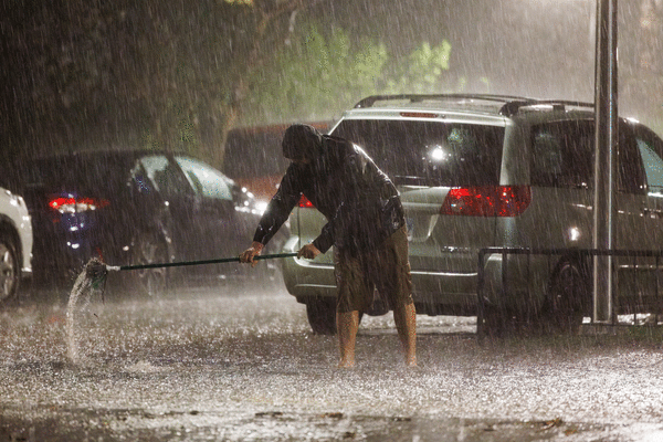
CHICAGO — A flood watch is in effect for several Illinois counties as well as northwest Indiana as storms are expected to continue through late Wednesday night, officials said.
The watch covers portions of Illinois including Boone, central Cook, DeKalb, eastern Will, Kane, Kendall, Lake, McHenry, northern Cook, northern Will, Ogle, southern Cook, southern Will, Winnebago, counties and northwest Indiana, officials said.
Officials caution creeks and streams may rise out of their banks, especially in areas with poor drainage. National Weather Service officials said roads and streets may flood due to multiple rounds of showers and thunderstorms expected through Wednesday evening. Because of elevated soil moisture due to recent rainfall, flash flooding is possible, officials said.
Other hazardous weather expected Wednesday is damaging wind up to 70 mph, large hail up to half dollar size. There is also a small chance of tornadoes. Officials said waves of thunderstorms are expected Wednesday morning through the night hours, and some could be strong to severe in the afternoon and evening hours.
Current morning conditions at Midway Airport are overcast at 66 degrees. Farther north at O’Hare International Airport, conditions are similar at 63 degrees.
____
©2026 Chicago Tribune. Visit at chicagotribune.com. Distributed by Tribune Content Agency, LLC.


Comments